The internet provides some amazing resources to help prospectors locate good areas to find gold. The free information available to us is better today than it ever has been. The two resources below are some of the handiest tools available for research.
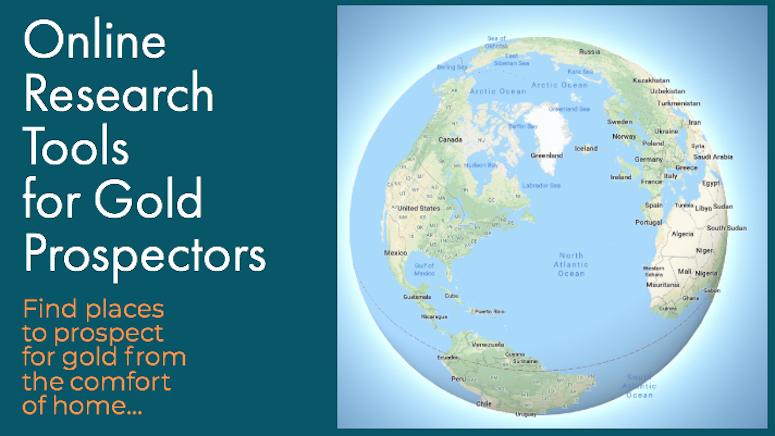
Google Earth
Google Earth is a virtual map of the Earth. It maps the entire planet by superimposing images from satellite imagery, aerial photography, and geographic information systems. It provides aerial view of every corner of the planet.
The values of Google Earth to the gold prospector are limitless. Sitting in the comfort of your home, you can look at remote gold country. You can see roads, creeks, rivers, and gulches. You can often see old mines and other diggings in the hillsides, tailing piles in the creek bottoms, and other evidence of past workings by other miners.
Especially when used in conjunction with other research that you have done, you can locate excellent areas to search for gold.
CalTopo
CalTopo is another online mapping resource that surprisingly few people seem to know about. It is located at caltopo.com and provides users with access to USGS 1:24,000 scale topo maps. The site is interactive, so you can use your cursor to navigate. You can type certain features into the search bar to zoom directly to the location.
These features can be obvious like towns and cities, but even some more obscure references can be entered into the search bar and located with CalTopo. You can often enter specific landmarks like mines, creeks, and mountains, and get it to come up.
Another feature that is especially handy on CalTopo is the ability to add overlays onto the basic 1:24,000 maps such as land ownership. It also has other mapping layers, including basic street maps and historical maps for certain areas. The information found here is really worthy of exploring.
Also Read: Man-Made Gold Indicators – Identify Historic Mining Activity
My Land Matters
My Land Matters is the best tool to come out for US-based gold prospectors in years. In fact, it fills a much needed void that was left when the Bureau of Land Management stopped updating active mining claims on GeoCommunicator. And it is much more user-friendly than LR2000.
This website basically lets you do research from home to determine if lands are actively claimed or not. As a gold miner it is your responsibility to know land status. Not only about private/public lands, but also whether or not a section of public lands has active claims on it.
Go to MyLandMatters.org and start playing around with it. It will take some time to learn how to use the site, but soon you will be able to find active and abandoned mining claims. This will help you to find areas that you can go search on the ground.
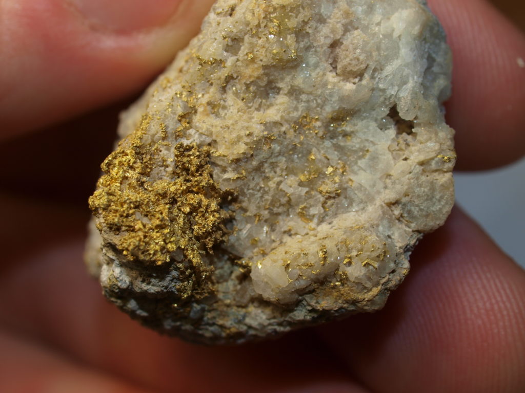
This specimen of gold in quartz came from an old hard rock mine. This was once an active mine but it was abandoned in the 1930s. The land is currently unclaimed. I was able to search the area with a metal detector and recover this nice specimen from an ore pile.
Mobile Access
With today’s mobile technology, some prospectors are even set up so that they can have access to these resources while out in the field. The old paper maps are still the preferred navigating tool for some of us, but I must admit that devices such as smart phones and tablets give us access to some fantastic resources while out in the field.
As prospectors hit the hills each season, gold is always getting just a little bit harder to find. Be sure to use the resources that are available to you, and you are sure to be rewarded!
Next: Making the Transition from “Greenhorn” to Skilled Gold Prospector