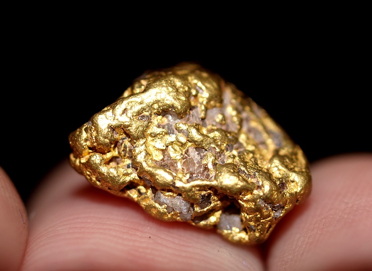
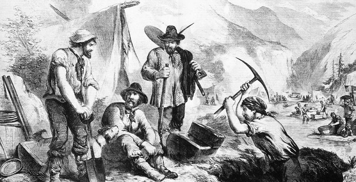
August 16, 1896 marked the first major discovery of gold in the Klondike after a man known as Skookum Jim Mason together with his cousin, Dawson Charlie, and their relatives found gold in Rabbit Creek. The area was renamed Bonanza Creek as millions of dollars of gold were mined.
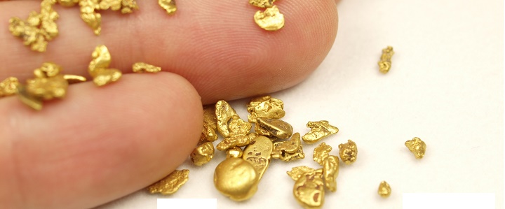
It was the precious yellow metal that opened up the Yukon country, attracting the Klondikers during the gold rush in 1896-98. Since then, placer gold mining remained the backbone of the Yukon economy until the early 1920’s. To date, fine gold production since 1885 recorded a total of more than 20 million ounces, valued at over 25 billion USD at today’s prices. Major mining still continues today.
Major Gold Deposit Areas in the Yukon Territory
The Yukon Territory, covering an area of 207,076 square miles, is situated in the far northwest corner of Canada. Placer deposits occurred in several areas in Yukon, though traditionally, most of the mining took place near Dawson City, a favorable placer gold deposit location since it is within the un-glaciated portion of Yukon.
Despite Yukon has been glaciated at least four times, much of central Yukon escaped the effects of the Cordilleran ice sheets, which generally moved into the Yukon from southeast to northwest. The rich Klondike placer gold deposits in central Yukon were preserved from the scouring effects of the ice sheets which affected southern Yukon.
Historically, placer mining locations in Yukon can generally be divided into two group locations— un-glaciated and glaciated areas— that are clustered into ten principal areas: Klondike; Sixtymile; Fortymile; Moosehorn Range; Stewart River and its tributaries; Clear Creek; Whitehorse South (Moosebrook, Pennycook) and Quiet Lake (Sidney/Iron Creek) Areas; Mayo; Dawson Range and Livingstone Creek. Each area has its own earth surface formation setting and depositional history, which is associated to its glacial history.
Gold Deposits in the Un-Glaciated Areas
Klondike/Sixtymile/Fortymile/Moosehorn Range
Placer deposits in the un-glaciated Klondike, Sixtymile, Fortymile and Moosehorn drainages occur in gulch gravels and in high-level terraces in the higher reaches, while existing in valley bottoms and alluvial fans in the lower reaches.
The gulch gravels have discontinuous or separate pay streaks, while the alluvial fans have more scattered and irregular pay streaks, except at their apex where a more continuous placer accumulation can be expected.
Since these areas are un-glaciated, alluvial sediments have undergone an extensive period of weathering and fluvial reworking. This enabled a continuing cycle of uplift and erosion to concentrate and re-concentrate placers in rich pay streaks in valley bottoms, valley side alluvial fans and bedrock terraces.
Stewart River
The Stewart River crosses an area from the McConnell glacial limit, to the Reid glacial limit, to the pre-Reid glacial limit, and into un-glaciated terrain. Placer gold occurs on active point and channel bars along these reaches, especially along the course of the river and along abandoned channels and oxbows in areas where the stream course has shifted.
Placer gold in the area has mainly been transported during flood events from a number of dispersed sources of gold, from tributaries such as Clear Creek and McQuesten River, and from sediments on bedrock terraces adjacent to the Stewart River. Tributaries of the Stewart River in the un-glaciated areas contain placer gold deposits along narrow gulches within alluvial fans, in valley-bottoms, and on intermediate level bedrock terraces.
Gold Deposits in the Glaciated Areas
Clear Creek
Clear Creek area lies within the pre-Reid glacial limit, just outside the limit of the major Reid Valley glaciation but including areas which may have been subject to alpine glaciers during the Reid episode. Surface deposits include Tertiary gravels similar to the White Channel deposits, pre-Reid glacial drift which has covered the Tertiary gravels, Reid alpine drift, Quaternary valley-bottom and buried placers, and colluvial deposits.
Mayo Area
The placer gold deposits in the Mayo area lie at the boundaries of both the Reid and the McConnell glaciations. The Dublin Gulch-Haggart Creek area lies within the Reid glacial limits.
Placer deposits consist of valley bottom, gulch and colluvial sediments, which have formed since the Reid glaciation, because the McConnell ice did not reach into this area.
Mayo Lake tributaries, including Duncan Creek and the surrounding areas lie on the edge of the McConnell glaciation but entirely within the Reid glacial limits. Most of the Mayo Lake placer deposits lie at the apex of fan-deltas, which have built into the lake since the McConnell episode.
Kluane Area
The Kluane area, glaciated several times, had placer gold deposits generally occurring in two settings which are geographically divided by Kluane Lake. The east side of Kluane Lake ( e.g. Gladstone Creek) was last covered by glacial ice during the second most recent glaciations (Reid equivalent), when valley glaciers originating in the St. Elias Range formed piedmont lobes which extended across Kluane Lake.
Placer deposits in the Gladstone Creek area consist of recent stream gravels which have re-concentrated gold above bedrock on top of glacial till and glacial lake sediments. Part of this re-concentration may be the result of melt water action at the end of the last local glaciation, and part may be due to fluvial reworking and re-concentration since that time. The placer gold is likely derived from a number of sources in bedrock and pre-glacial or interglacial gravels.
Confined to the west side of Kluane Lake was the Burwash Creek and nearby creeks, which were affected by the most recent ice advance. Prior to the latest glacial episode, the Slims River actually drained in the opposite direction (southward) into the Kaskawush River.
The glacial diversions of streams through ice-damming and subsequent release of melted waters caused a large amount of fluvial down-cutting (in many cases to bedrock) and caused reworking of sediments when streams were forced to adjust to new base levels and cut new channels.
Recent fluvial activity, most aggressive during flood stages, continues concentrating placer gold in gravel bars along and nearby the present stream channel.
Dawson Range (Mt. Freegold/Mt. Nansen)
Placer deposits of the Dawson Range lie within the pre-Reid glacial limits. Gold has been found in pre-Reid glacial till and glacio-fluvial gravels, as well as in non-glacial gravels which were deposited after and on top of pre-Reid glacial and glacio-fluvial deposits. Gold was preserved in the glacial material because the pre-Reid glaciation that affected the area was of an alpine nature, which resulted in only limited dispersion of pre-existing fluvial placers. These gold-bearing sediments were then incorporated into the glacial till.
This type of process has also been documented in the Cariboo placer district in British Columbia.
Normal processes have subsequently concentrated gold above bedrock on top of the glacial till which acted as a “false bedrock” which was resistant to down-cutting. The gold is likely derived from lode sources within the numerous related vein systems in the area.
Livingstone/South Big Salmon Area
Placer deposits in the Livingstone placer camp lie well within the McConnell glacial limit, the most recent glacial advance. Auriferous interglacial gravels formed between the Reid and the McConnell glaciations occupy east-west trending valleys which are transverse to the direction of ice movement.
These placers were buried by several meters of glacial drift, which protected them from the erosive action of the ice which later scoured the ridges as the ice sheet moved northwestward. The gravels were later re-exposed by a large amount of fluvial down-cutting at the end of the glaciation and during a period of post-glacial fluvial reworking. The source of gold in the Livingstone area is most likely from telluride and free gold in small quartz veins which cross-cut local graphite schist bedrock.
Whitehorse South (Moosebrook, Pennycook) and Quiet Lake (Sidney/Iron Creek) Areas
The placer gold-bearing gravels of Quiet Lake and Whitehorse South areas (Moosebrook, Pennycook, Sidney, and Iron creeks) lie completely within the McConnell glacial limits, and are generally poorly understood as little scientific work has been done in the area. They may be similar in genesis to the placer deposits on Livingstone Creek, where auriferous interglacial gravels formed during the long period of fluvial action between the Reid and the McConnell glaciations.
The lode gold source in the Yukon Territory has been identified as the high grade gold-quartz veins which cut the metamorphic rocks (Klondike Schist and Nasina series) on ridges above creeks. Nevertheless, for some specific areas, the lode source of many of the placer gold deposits remains relatively unknown.
The potential for new placer discoveries in the Yukon remains high, as past exploration for placer deposits has focused mainly on traditional areas and only the most accessible drainages have seen extensive examination and testing. The search for new placer deposits, in the presence of diminishing reserves in traditional areas, is important in order for the placer mining industry to survive.
Next: North America Gold Mining Maps (U.S. & Canada)